What is this?
Louisiana Purchase Exploration Trails is a proposed interpretive driving route highlighting two early U.S. expeditions into the Louisiana Purchase: the Dunbar-Hunter “Grand Expedition” (1804-1805) and the Freeman-Custis “Red River Expedition” (1806).
Though not as widely known today as the Lewis and Clark Expedition, these expeditions played a crucial role in shaping early American understanding of the Louisiana Purchase. Their routes passed through landscapes that remain inhabited and traveled today, making them especially well-suited through interpretation through place-based travel.
The project aims to connect existing historic sites, museums, and landscapes with a small number of roadside markers and a map-based guide, making it easier for travelers to follow these expeditions on the ground and understand how early Americans encountered the region. This website presents a working proof-of-concept and will continue to evolve as research advances and partnerships develop.
Below: 1806 map of the Red River by Nicholas King based upon data collected by the Freeman-Custis Expedition.
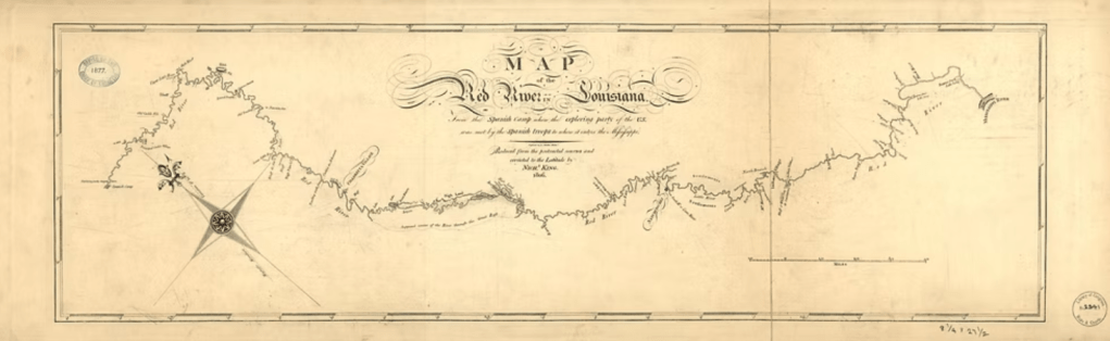
. Philadelphia: Engrav’d by F. Shallus, 1806. Map. Retrieved from the Library of Congress, <www.loc.gov/item/2003623378/>.
This link goes to a page where you can view the locations of the proposed Phase One of the Louisiana Purchase Exploration Trail markers.
Below: Nicholas King map of the Ouachita River, developed from data collected by Dunbar-Hunter Expedition
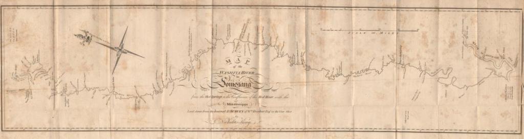
King, N. Map of the Washita river in Louisiana from the Hot Springs to the confluence of the Red River with the Mississippi.
London: R. Phillips, 1804. Map. Retrieved from the Library of Congress, <www.loc.gov/item/2004633176/>.
