A few options exist for traveling between New Boston, Texas, and Hot Springs, Arkansas, to complete your 800-mile loop on the Louisiana Purchase Exploration Trails. These suggested routes are between 130-140 miles each.
Floating and Mining
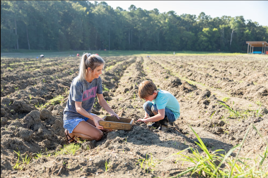
This route allows travelers to enjoy two iconic Arkansas experiences: floating the Caddo River near Glenwood and searching for diamonds at Crater of Diamonds State Park. The Caddo River is generally an easy float, though conditions vary. A number of outfitters provide canoes, kayaks, life jackets, and transportation services for floating in the Glenwood and Caddo Gap area. The Caddo was noted in the journals of the Dunbar-Hunter Expedition, as it is a tributary of the Ouachita.
Ka-Do-Ha Indian Village in Murfreesboro interprets the site of a Caddoan village which flourished centuries before the Louisiana Purchase, including artifacts found on site. Expect mostly two-lane highways and beautiful views on the route, parts of which are state-designated scenic highways.
From US 270, take US 70 west through Glenwood to Kirby. At Kirby, go straight to continue on State Highway 27. Take US 27 through Murfreesboro, Nashville, and Mineral Springs to US 71. At US 71, turn left to continue south through Ashdown and Texarkana. Turn left on either US 82 or Interstate 30 to reach New Boston.
From New Boston, take either US 82 or Interstate 30 east to US 71 in Texarkana. Turn left (north) on US 71 and continue through Ashdown to the intersection of US 71 and State Highway 27 between Wilton and Lockesburg. Turn right (east) on State Highway 27 and continue through Mineral Springs, Nashville, and Murfreesboro to Kirby. At Kirby, go straight to continue on US 70. Stay on US 70 through Glenwood to reach Hot Springs.
Bankhead Highway/Civil War
The Bankhead Highway was one of the earliest US auto trails. Established in 1916, the Bankhead Highway welcomed the first generation of tourists to see the United States by car. This mighty route connected Washington, D.C. to San Diego, California. In Northeast Texas and Southwest Arkansas, the route once traced by the Bankhead Highway is followed by US 67. It still takes travelers through the hearts of charming downtowns and through beautiful forests–just as it did over 100 years ago.
Much of the Arkansas portion is part of the Camden Campaign Scenic Byway. This byway follows troop movements and highlights meaningful sites from the Camden Campaign, part of an 1864 attempt by Federal troops to capture Shreveport, Louisiana. Civil War sites near the route include Historic Washington State Park and Prairie d’Ane Battlefield, managed by Nevada County Depot Museum.
The route also passes near William Jefferson Clinton Birthplace Home National Historic Site.
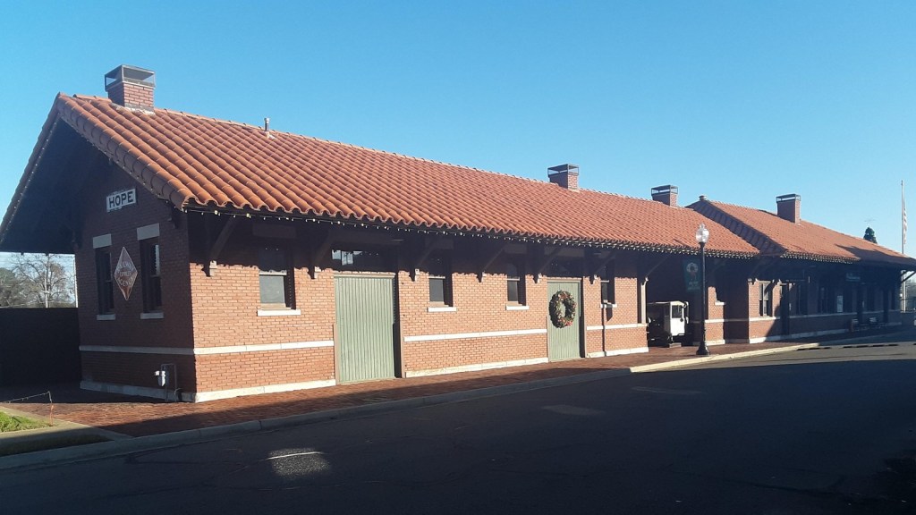
From Hot Springs, take US 270 east to Malvern, and continue through downtown on US 270 Business. At Malvern, turn south on US 67. Continue on US 67 through Caddo Valley, Arkadelphia, Gurdon, Prescott, Hope, Texarkana, and Maud to Corley. At Corley, turn north on Texas Highway 8 to reach New Boston.
From New Boston, take Texas Highway 8 south to Corley. Turn east on US 67 at Corley and continue through Maud, Texarkana, Hope, Prescott, Gurdon, Arkadelphia, and Caddo Valley to reach Malvern. At Malvern, turn east on US 270 Business and continue onto US 270. Take US 270 east to Hot Springs.
Scenic 7/De Gray Lake
Overlapping partially with the Bankhead Highway/Civil War route, this route follows part of Scenic 7 Byway. Scenic 7 is an iconic Arkansas travel experience which stretches from the Louisiana border in the south to Bull Shoals Lake in the north, a few miles from the Missouri border. In all, it is 290 miles long.
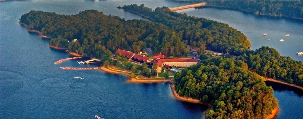
This 31-mile section of Scenic 7 passes DeGray Lake, home of DeGray Lake Resort State Park. DeGray Lake is formed from the Caddo River, noted by Dunbar and Hunter as the “Fourche des Cadeaux.”
Crossing into Hot Springs, the route treats travelers to dramatic views of the Ouachita River and Lake Hamilton as it continues toward the famous Bathhouse Row. Together with the Dunbar-Hunter Route, this option allows visitors to travel all the portions of Scenic 7 Byway that lie between El Dorado and Hot Springs for a total of 115 miles. Travelers can see the change from the rolling timberlands of the West Gulf Coastal Plain to the curves of the Ouachita Mountains along this portion of State Highway 7.
From Hot Springs, take Scenic 7 Byway (State Highway 7) south to Caddo Valley. At Caddo Valley, turn south on US 67. Take US 67 to Texarkana. At Texarkana, take US 82 west to New Boston.
From New Boston, take US 82 east to Texarkana. At Texarkana, take US 67 north to Caddo Valley. At Caddo Valley, take Scenic 7 Byway (State Highway 7) north to Hot Springs.
